

±5cm
NAVIS
3D Autonomous Navigation
Build, deploy, and operate autonomous mobile robots with 3D mapping, reliable localization, intelligent path planning, and web-based mission management.
Core Performance Metrics
2M+m²
Mapping Area
1.5m/s
Navigation Speed
±10cm
Dynamic Accuracy
Key Challenges We Address
Complex System Integration
Sensors, SLAM, planning, obstacle avoidance, and robot control require extensive integration.
Long Development Cycles
Building an AMR from separate components and algorithms adds development risks and testing efforts.
Unstable Navigation in Dynamic Sites
Narrow aisles, repetitive structures, moving obstacles, and layout changes challenge reliable localization and navigation.
Fragmented Fleet Operations
Maps, routes, tasks, robot status, and operational data are often managed across disconnected tools.
Autonomous Navigation Solution
NAVIS is an AgileX's self-developed autonomous navigation system for mobile robots operating in semi-enclosed, indoor, and evaluated outdoor environments. It combines multi-sensor perception, mapping, localization, mission execution, and web-based operations in one deployable workflow.


How NAVIS Works

Perception, Mapping, and Localization
NAVIS fuses 3D LiDAR, IMU, odometry, and other onboard sensor data to build a real-time understanding of the robot’s surroundings.

Plan Safe, Efficient Routes
Plan routes to assigned destinations and adjust motion in response to obstacles, restricted areas, and changing site conditions.

Execute and Monitor Missions
Perform navigation tasks autonomously while the web-based system monitors robot status, mission progress, and operational data.
Built for Real-World Autonomy
From industrial facilities to commercial spaces, NAVIS enables reliable autonomous navigation across diverse and complex environments.
Related Products
Diverse Mobile Platforms for Different Applications
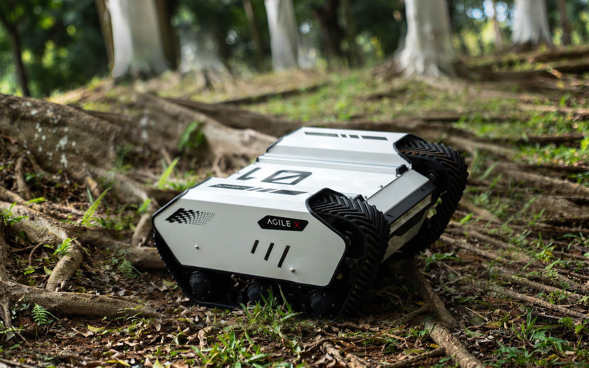
BUNKER MINI 2.0
Compact Tracked Platform
Learn More
25 kg
Payload
1 m/s
Max Speed
IP67
IP Rating
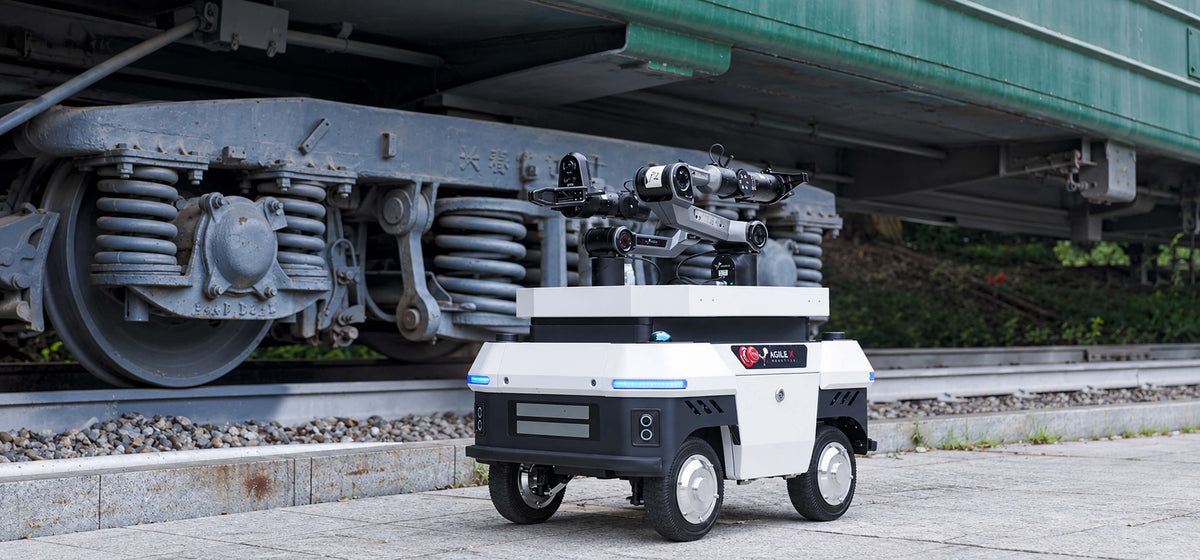
UMR
Universal Mobile Robot
Learn More
80 kg
Payload
1.5 m/s
Max Speed
IP65
IP Rating
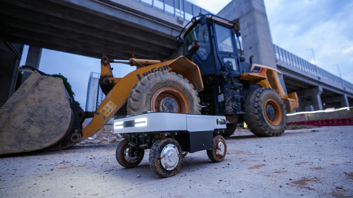
RANGER MINI 3.0
Compact Omnidirectional Platform
Learn More
120 kg
Payload
2 m/s
Max Speed
IP54
IP Rating
FAQ
NAVIS is AgileX Robotics’ autonomous navigation system for compatible mobile robots. It combines multi-sensor perception, map building, localization, path planning, obstacle avoidance, mission management, and web-based robot operations.
NAVIS uses solid-state 3D LiDAR, depth cameras, and IMUs as its primary perception inputs. Odometry and optional RTK-GPS can also be included, depending on the robot configuration and deployment requirements.
NAVIS is designed primarily for semi-enclosed and fully enclosed environments, including industrial parks, underground parking facilities, campuses, and similar sites. Indoor-outdoor deployments should be evaluated according to the terrain, weather, positioning conditions, and robot platform.
Yes. NAVIS supports obstacle detection, autonomous obstacle avoidance, and stop-for-obstacle behaviors during navigation. However, site safety still requires appropriate sensor placement, restricted areas, physical protection, and a full risk assessment.
Operators can use the web interface to record and edit maps, create destinations and routes, configure temporary or saved missions, monitor robot status, and review sensor, battery, and charging information.
Yes. With a compatible charging station configured, NAVIS can send the robot back to charge when battery power reaches a defined threshold, then resume the unfinished mission after recharging.
Integration should be evaluated based on the robot’s motion model, sensor layout, control system, and safety architecture. Any change to the original sensor configuration or robot structure requires renewed system and safety validation.
Tell Us Your Needs
Connect with our robotics experts to discuss your needs and discover the perfect robotics platform for your business.
AFTER-SALES
support@agilex.aiADDRESS
Head Office: XbotPark, Songshan Lake, Dongguan
Sales & Marketing: iPark, Nanshan District, Shenzhen
Thank You!
Your inquiry has been received. Our robotics engineers will get back to you as soon as possible.